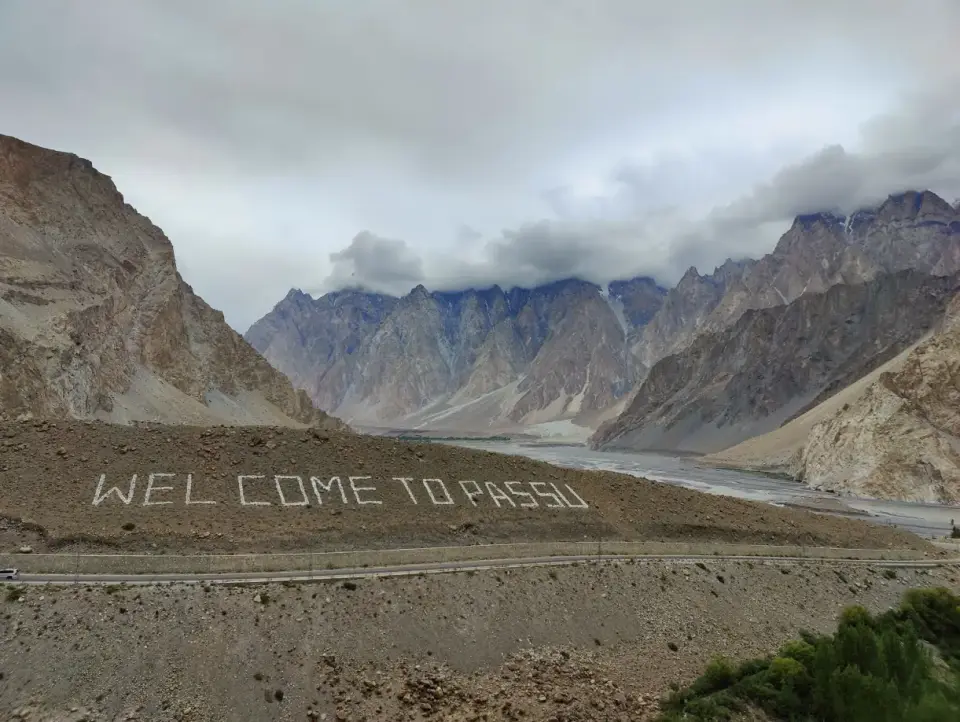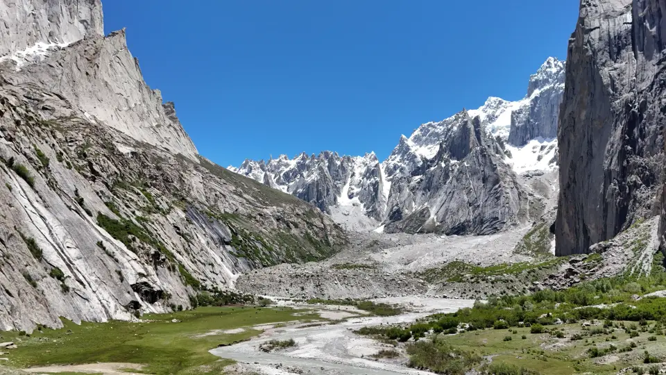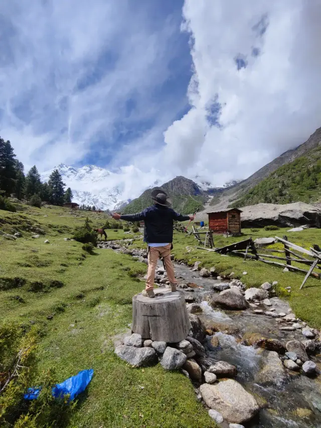
The phrase “hidden place” often hides the information a visitor needs most: where a road ends, who can authorize a stay, and whether the community wants strangers walking through private land. A quieter journey should improve your experience without turning someone else’s home into a secret attraction. This guide helps you select a valley extension, judge its practical requirements and keep exploration respectful.
The short answer
Phander and the Ghizer corridor, Naltar near Gilgit and Nagar-side walks offer alternatives to a tightly packed headline circuit. Choose one extension, confirm its actual access and overnight services, and avoid publishing private campsites or sensitive places as unrestricted attractions.
Field guide / 01
Define quieter travel before looking for a secret place
Decide what you want to avoid: traffic, large hotels, crowded photography stops or a rigid sightseeing schedule. Those goals lead to different choices. A village stay can feel peaceful without being remote; a distant valley can still be busy during a local event. Ask when a host sees the most visitors and whether you can stay longer rather than visiting at a socially inconvenient hour. Do not confuse a place with fewer online reviews with a place that has no residents or rules.
Choose the experience first, then the road that supports it. A lake picnic, a day walk and a multi-day trek need different equipment and local arrangements. If a proposed extension requires a long transfer for a short stop, reconsider it. Spending an extra night in a valley you already like may offer more meaningful contact than adding another name to the route. A good guide should explain what is feasible, not merely reveal a pin.
Field guide / 02
Phander and Ghizer: build a valley stay around the journey
The official GB Tourism — Phander places Phander on the Ghizer corridor through settlements including Gahkuch, Gupis and Khalti. That makes the approach part of the experience, not dead travel time to be compressed. Ask where to pause, where the overnight is and how the return fits your next connection. If you continue toward a pass or another district, treat that as a separately checked transfer rather than assuming the same vehicle and schedule will work.
For lake photography, use established access and avoid standing on unstable banks. For fishing or boating, verify permissions and operator arrangements rather than inferring them from photographs. Choose a host who can explain local expectations, meals and the best way to walk around the settlement. Keep enough cash and ordinary supplies for the stay. Do not rely on uninterrupted internet, a late-opening restaurant or a particular room being available without confirmation.
Field guide / 03
Naltar: separate road access, lake visits and winter activities
The GB Tourism — Naltar Valley identifies a forested valley near Gilgit with lakes and winter-sport associations. A summertime lake excursion and a winter activity are not interchangeable products. Ask about the vehicle required, the operating facility, the current route and the level of supervision. A photograph of skiing does not establish public access, rental availability or a beginner lesson on your date. Confirm those directly before buying extra equipment or changing accommodation.
If you plan a lake visit, clarify the final walking distance and where the vehicle waits. Do not assume all lakes can be reached in one outing or that the route is suitable after rain. For a family, provide ages and mobility needs. For a winter trip, establish a weather fallback and the return before dark. If the needed services are unconfirmed, choose a lower-risk valley visit rather than turning the outing into an improvised technical activity.
Field guide / 04
Nagar and side valleys: ask for the exact walk
Nagar can be a useful extension for travelers interested in mountain views and slower village time. The important question is not simply “Can we visit Nagar?” but which settlement, viewpoint or trail is intended. Ask the guide to name the route, starting point and turnaround. A short visit beside a road should not be described using the equipment list or promise of a basecamp trek. Confirm any local access conditions with people responsible for the route.
Keep agricultural land, irrigation channels and private courtyards out of an improvised walking circuit. Ask before entering, photographing residents or stopping near a working area. Explain to the driver where you want time on foot so the plan does not become a sequence of roadside photographs. A local interpretation of the landscape can make an ordinary village walk more rewarding than a distant trail that does not fit your party.
Field guide / 05
Rama and Astore: a useful alternative, not a spare afternoon
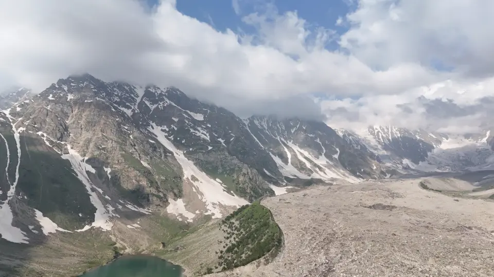
An Astore-side extension should be planned with its own overnight, route checks and transfer time. Do not add it merely because a map makes the valleys look adjacent. Ask how the road connects with the rest of your journey and what happens if weather affects a pass. A lake outing can involve an additional walk, so confirm the starting point, footwear and turnaround. The archive photograph on this page shows Rama; it does not prove current trail or road access.
If the extension is mainly for a lake photograph, compare its travel cost with a quieter stay closer to your existing base. If it is for a longer valley experience, give it enough nights to justify moving. Tell the accommodation provider about late arrival possibilities and request a meal arrangement. Keep optional excursions genuinely optional, especially when the main departure connection is fixed. A less crowded route should not make the return plan fragile.
Field guide / 06
Glacier points and hiking spots: assess the terrain, not popularity
Low visitor numbers do not make a route easy. Ask about exposure, navigation, river crossings, rockfall, snow and the availability of a competent guide. An established glacier viewpoint is a different proposition from stepping onto ice. Do not treat a phone map as a substitute for current route knowledge. If the provider cannot explain the terrain and evacuation plan, simplify the activity. Your ability and the conditions should determine the objective, not the promise that few foreigners have seen it.
Use our mountain and permit guide to distinguish sightseeing, trekking and expedition travel. Keep elevation claims tied to a named feature: peak height, campsite elevation and trail gain are not the same measurement. When reliable figures are unavailable, ask for a checked route profile instead of accepting a precise-looking number. The safest answer can be a maintained village path rather than a remote pass.
Field guide / 07
Protect small places when sharing your journey
Before posting a campsite location, ask whether publicizing it would encourage parking on fields, trespass or waste. Some places are better described at valley level, with access arranged through the host. Do not publish a resident’s private phone number without consent. Leave review information about the service you used, not an invented claim that a place is pristine or untouched. A useful recommendation explains suitability, limits and how to obtain permission.
Carry rubbish back to a disposal point and avoid using rivers or lakes as washing facilities. Ask about toilets and waste arrangements before an overnight rather than after setting up. Pay for agreed local services and clarify expectations around guiding and meals. When someone declines photography, accept it without negotiation. Travel that respects boundaries is more likely to create a good welcome than a trip marketed as access to places nobody else knows.
Field guide / 08
Request one well-matched valley extension
Send your main route and ask for an extension that fits the time remaining. Mention whether you want a quiet hotel, a village guesthouse, a day walk or a supervised camp. Include the level of remoteness you are comfortable with and whether unreliable connectivity is acceptable. Ask for a written outline of access, meals, transport and the return. A useful proposal explains why the valley fits your interests and which assumptions still need checking.
You can contact Farhan at Offbeat Camper about a quieter GB itinerary and local enquiries. Farhan can discuss how an extension fits Hunza, Skardu or a Gilgit-based route, then check relevant provider options. Do not interpret an introduction as permission to enter private land or a restricted area. Use GB Tourism — regional tourism office directory when an official local answer is needed. Confirm the arrangement, responsibility and cancellation terms before making the extension part of a paid itinerary.
Keep exploring: Destination field atlas, the travel guides and the route-based gear checklist.