
A field atlas of Pakistan
Destinations shaped by road, trail and weather
Begin with a landscape, then move deeper through the journeys connected to it.
01 / The perspective
Begin with a landscape, then move deeper through the journeys connected to it.
Explore the field notes
Follow the connected stories.
 01
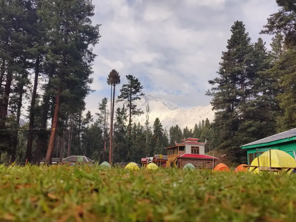
Fairy Meadows
Forest trails, camp nights and Nanga Parbat changing with the light.
Explore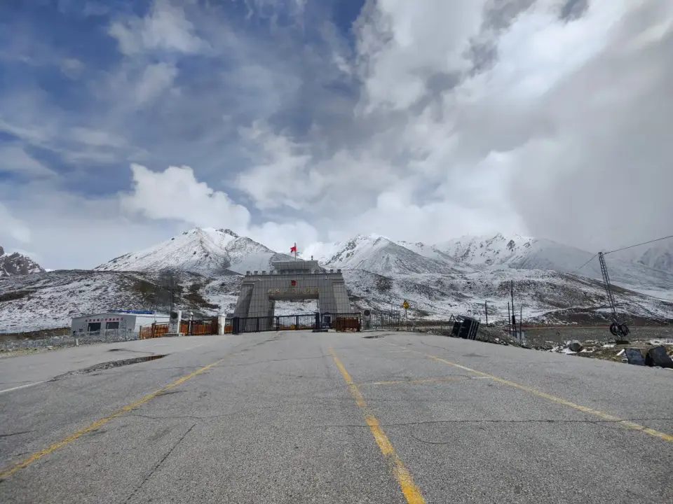 02
Khunjerab Pass
A high-altitude road journey along the Karakoram Highway to the border.
Explore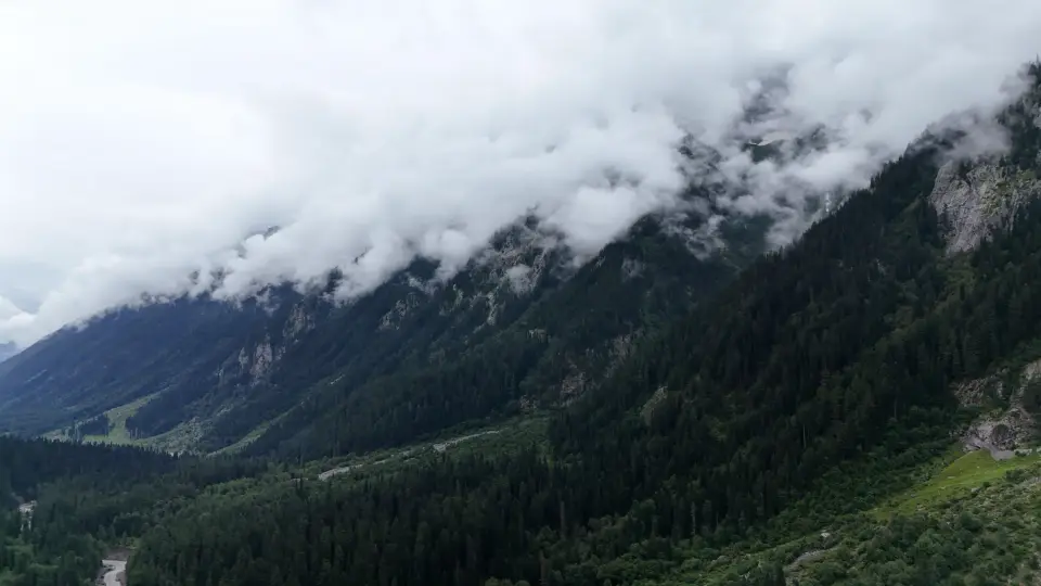 03
Kumrat Valley
River crossings, dense forest and routes leading toward Jahaz Banda.
Explore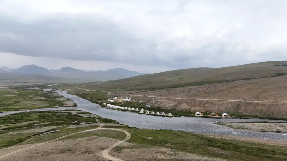 04
Deosai Plains
Open plateau, long horizons and fast-moving mountain weather.
Explore05Nangma Valley
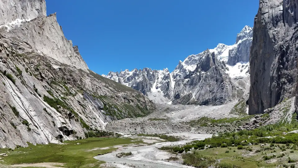
Granite towers, village approaches and a landscape built for walking.
Explore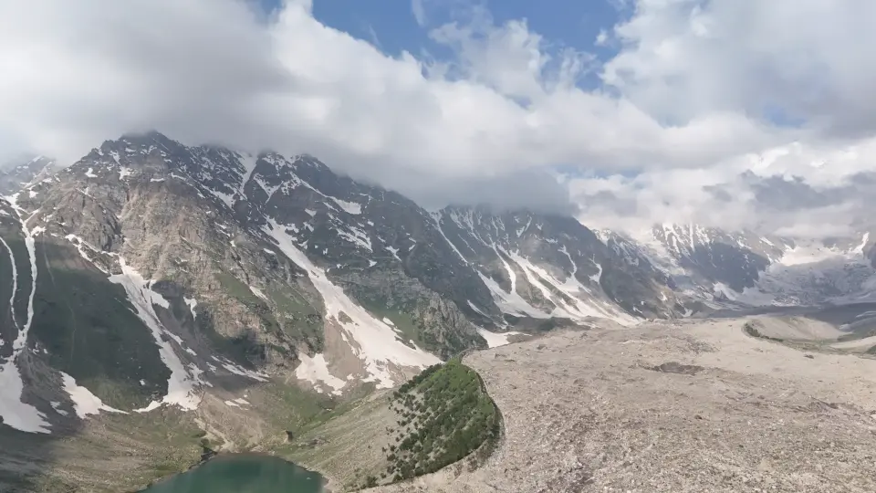 06
Rama Meadows
Forest, lake and broad views toward Nanga Parbat.
ExploreKumrat and the forested north
Kumrat Valley offers a different visual rhythm from exposed high passes: deodar forest, river scenery and winding approaches. The motorcycle film shows the valley as the final chapter of a longer monsoon journey through Swat and Upper Dir.
For a visitor, the approach is part of the destination. Road and weather conditions should be checked locally before departure.
Read the detailed guide: Hunza travel guide for foreign tourists ↗Jahaz Banda and Katora Lake
These names often appear together, but the experience changes sharply between meadow and lake. The published trekking film makes the effort of the Katora Lake route visible, while the Kund Banda story reveals another side of the area.
Use the footage to understand terrain and pace, then ask local guides for current trail information.
Fairy Meadows and Nanga Parbat
The photo archive shows Fairy Meadows by day and at night, with Nanga Parbat changing behind the camp. A stay here is more than a single viewpoint; the forest approach, campsite and weather all shape it.
Choose a realistic walking and camping plan, and follow current local guidance for access and safety.
Deosai and the high plateau
Deosai’s broad horizon can make distance look deceptively simple. The open landscape also leaves travellers exposed to wind and rapid weather changes. Offbeat Camper’s Deosai film is a view of the journey rather than a substitute for a current route report.
Plan fuel, daylight, shelter and the day’s stopping point conservatively.
Nangma, Rama and the Karakoram
Nangma Valley’s granite forms invite a slower walking journey. Rama’s forest and lake landscape contrasts with the road journey over Babusar. Along the Karakoram Highway, Passu and Khunjerab add a different sense of altitude and scale.
The destination hub connects these places to the relevant road, trekking and camping stories.
Choose the next place thoughtfully
Start with the kind of experience you want: a ride, a walk, a camp or a film-led introduction. Then compare likely season, road access, walking demands, daylight and local guidance.
A list of places is only a beginning. The journey between them deserves equal attention.
Watch the journey
Stories in motion.
Six published films from the Offbeat Camper channel, selected for this page. Select a film to open the full-size player.