It is tempting to write “Kumrat, Jahaz Banda, Katora Lake” as though the three names describe a single outing. They do not. The valley road, the meadow approach and the lake walk differ in terrain, time, weather exposure and the amount of help nearby. A rewarding trip begins by giving each layer its own decisions instead of trying to compress them into one ambitious day.
The short answer
Treat Kumrat, Jahaz Banda and Katora Lake as three connected stages. Confirm current road and transport conditions, rest at the meadow, and attempt the higher lake only with enough daylight, water, weather margin and a clear return plan.
Field guide / 01
See the region as three connected experiences
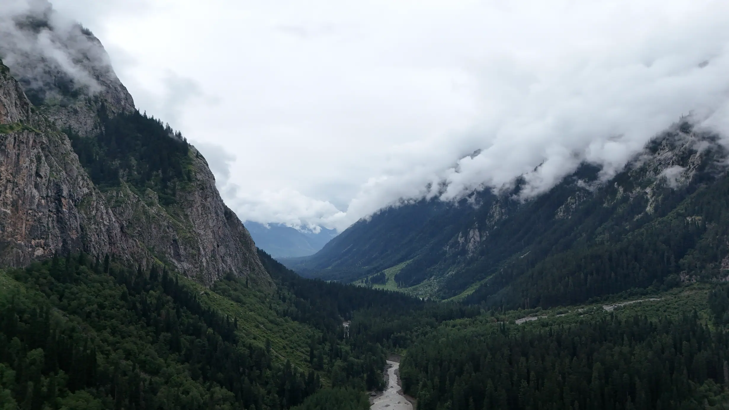
Kumrat offers a forest-and-river landscape in Upper Dir, while Jahaz Banda and Katora Lake draw travellers toward higher walking country. Pakistan’s national tourism material names all three, but a promotional map cannot settle current road access or trail conditions. Start with the Pakistan Tourism Development Corporation overview for orientation. Then identify which experience is your primary purpose. A visitor wanting a relaxed forest camp may not need a high lake at all. A trekker aiming for the lake should reserve energy and daylight for that specific walk.
Treat the transitions as meaningful boundaries. A motorcycle can be excellent for reaching a road-accessible base, but it is not a substitute for trail judgement. A vehicle transfer may solve one section but create a new timing or luggage question. The meadow is a place to rest and reassess, not merely a signboard on the way to the next destination. Write a simple plan for each stage: starting point, likely finish, current transport arrangement, water and food options, weather exposure and turn-around point. Do not infer an exact journey time from a generic online itinerary.
A regional trip works best with spare time. If you must return by a fixed date, place the highest-effort day early enough that a weather delay does not force a risky final push. Keep an enjoyable lower-level alternative for a day when the lake is not suitable. Offbeat Camper’s destination atlas connects these places to other journeys, but the most memorable version may be the one in which you stay long enough to notice one valley.
One way to make the layered plan tangible is to give each place a different question. Kumrat: where will we rest and learn the current conditions? Jahaz Banda: are we ready for a higher walk tomorrow? Katora Lake: is today suitable to continue and return safely? The names then become decision points rather than trophies. If the answer at one layer is no, the trip can still be complete.
Field guide / 02
Plan the approach without promising a road condition
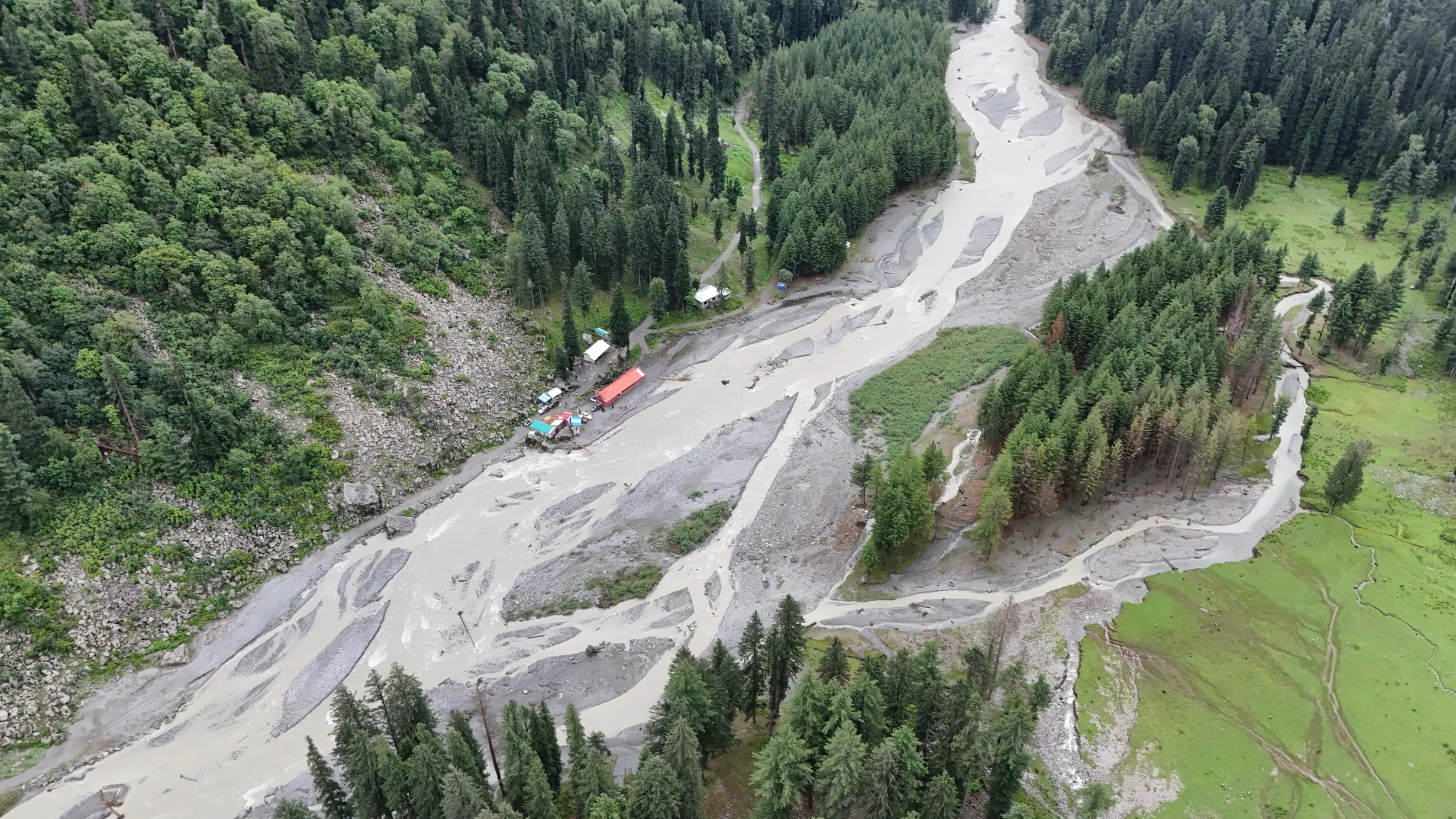
Mountain roads can change after rain, maintenance, traffic or a local incident. An article cannot certify the state of a track on the day you arrive. Check the Pakistan Meteorological Department forecast and NDMA advisories, then ask locally about the specific approach you intend to use. The safest answer may be to delay a departure or change vehicles rather than to test an uncertain section late in the day. If someone says a road is open, ask what kind of vehicle passed, when it did so and whether conditions have changed since.
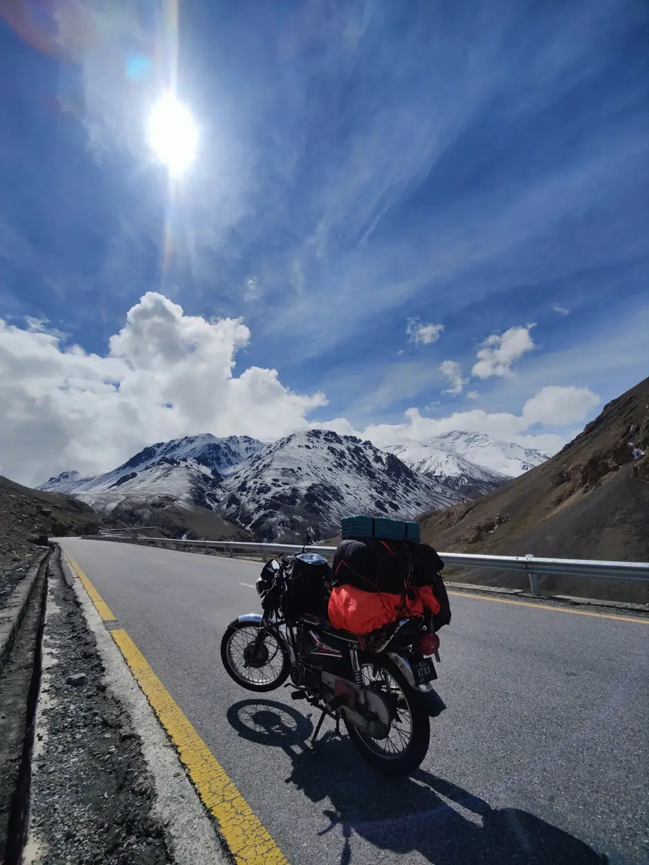
Motorcycle travellers should assess tyre grip, clearance, load, braking and their own off-road skill honestly. A photograph of another rider on a trail does not prove that the route is appropriate for your motorcycle. Loose surfaces and a loaded bike can make a slow manoeuvre more demanding than a steep paved climb. A group should agree on a stopping point beyond which nobody is pressured to continue. If walking becomes the appropriate mode, identify a safe place for the bike and coordinate with local hosts. The motorcycle page offers broader route-planning principles.
Do not treat transport negotiations as an afterthought. Clarify destination, return arrangement, luggage allowance and what happens if weather changes before accepting a locally operated ride. Bring enough cash if electronic payment may not be available, but verify current prices directly; the numbers in old posts age quickly. A clear agreement respects the operator and protects the traveller from a rushed decision in poor light.
When gathering road information, seek a time stamp. “It was fine” may refer to last week, before rain or a repair. Ask when the person travelled, what vehicle they used and what slowed them down. This is particularly helpful when comparing a motorcycle with a locally operated jeep. Two reports can both be honest and still describe very different levels of difficulty.
Field guide / 03
Let the meadow set the pace for the lake
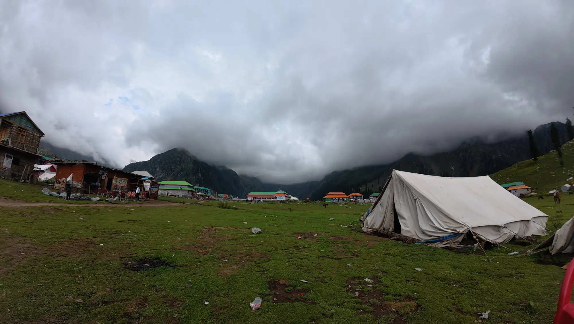
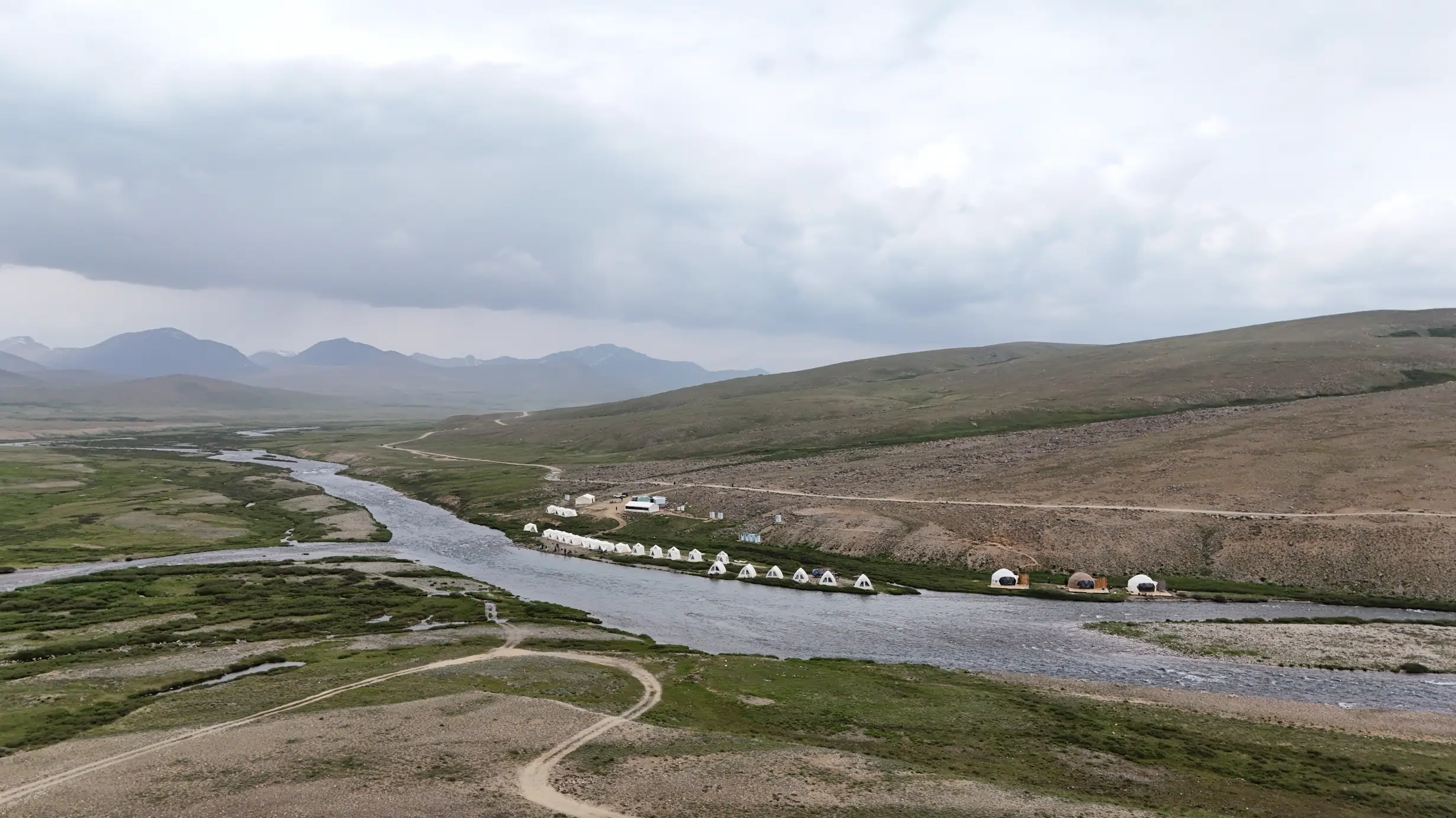
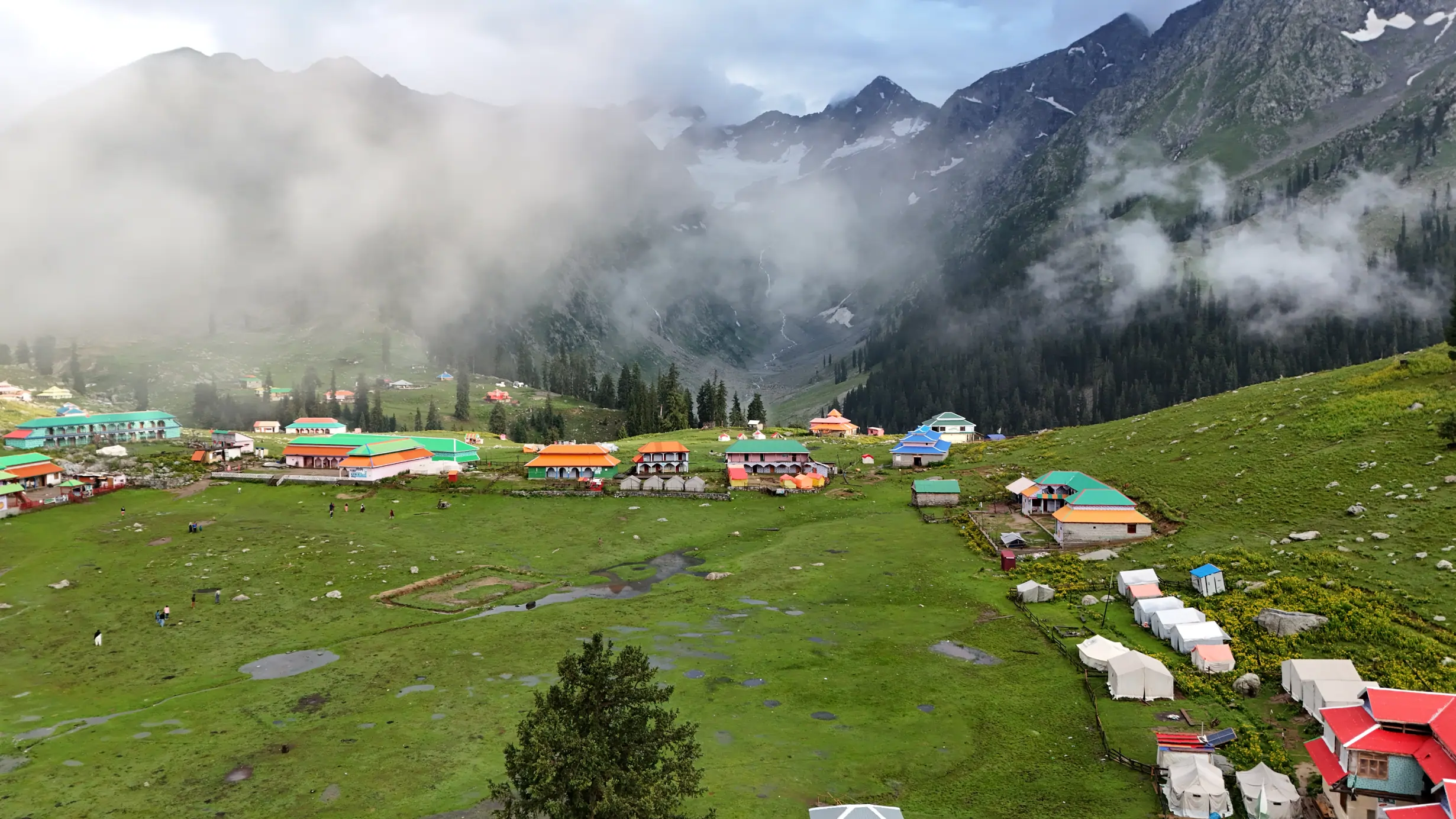
Jahaz Banda is often framed as a camp or staging point for Katora Lake. It deserves its own time. Arriving at a meadow after a long access day and immediately planning a demanding onward walk can conceal fatigue. Eat, drink, check your equipment and ask about the next day’s trail. Observe what the weather actually does in the afternoon and evening. A forecast gives useful context; a local guide can explain how the route reacts to rain, snow or swollen water. Both are more relevant than a fixed “easy trek” label.
Before setting out toward the lake, agree on a turnaround time and a minimum reserve of energy for the return. Pack a layer for wind and rain, water, food, navigation and a basic first-aid kit even if you expect to be back for a meal. The terrain and altitude can make a short-looking line on a map take longer than expected. If someone in the group feels unwell or the weather closes in, treat that as information, not an obstacle to overcome for the sake of a photograph. The trekking hub explains why route judgement matters more than speed.
Consider how the group will behave if it becomes separated. “We will meet at the lake” is not a complete plan when visibility or communications are poor. Choose a known checkpoint and a clear rule about waiting or turning back. If the route is unfamiliar, local guidance can be valuable for navigation and for understanding the place. Pay for that expertise fairly and ask before filming the guide at work.
If you are camping in the meadow, organise the morning so the lake walk does not begin with frantic packing. Prepare water, food and clothing the previous evening, but reassess weather at dawn. Leave the campsite secure and tell a host or companion your plan. The apparent convenience of starting directly from camp should not replace a deliberate go/no-go decision.
Field guide / 04
Prepare for weather and altitude without bravado
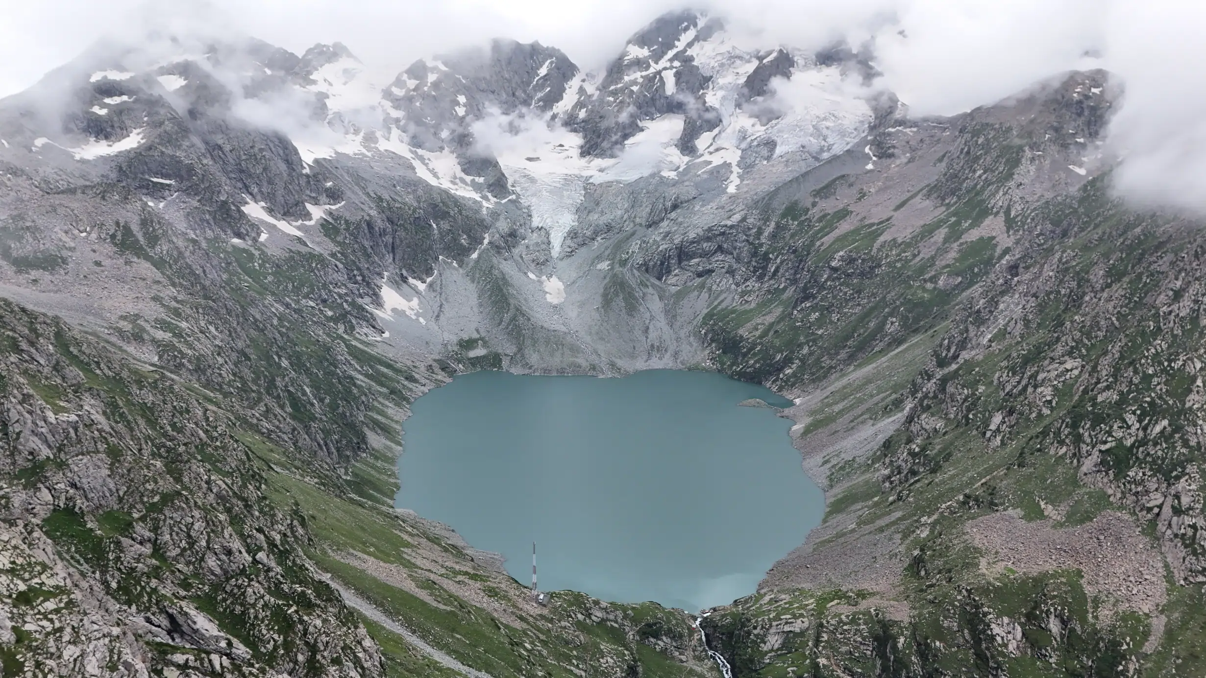
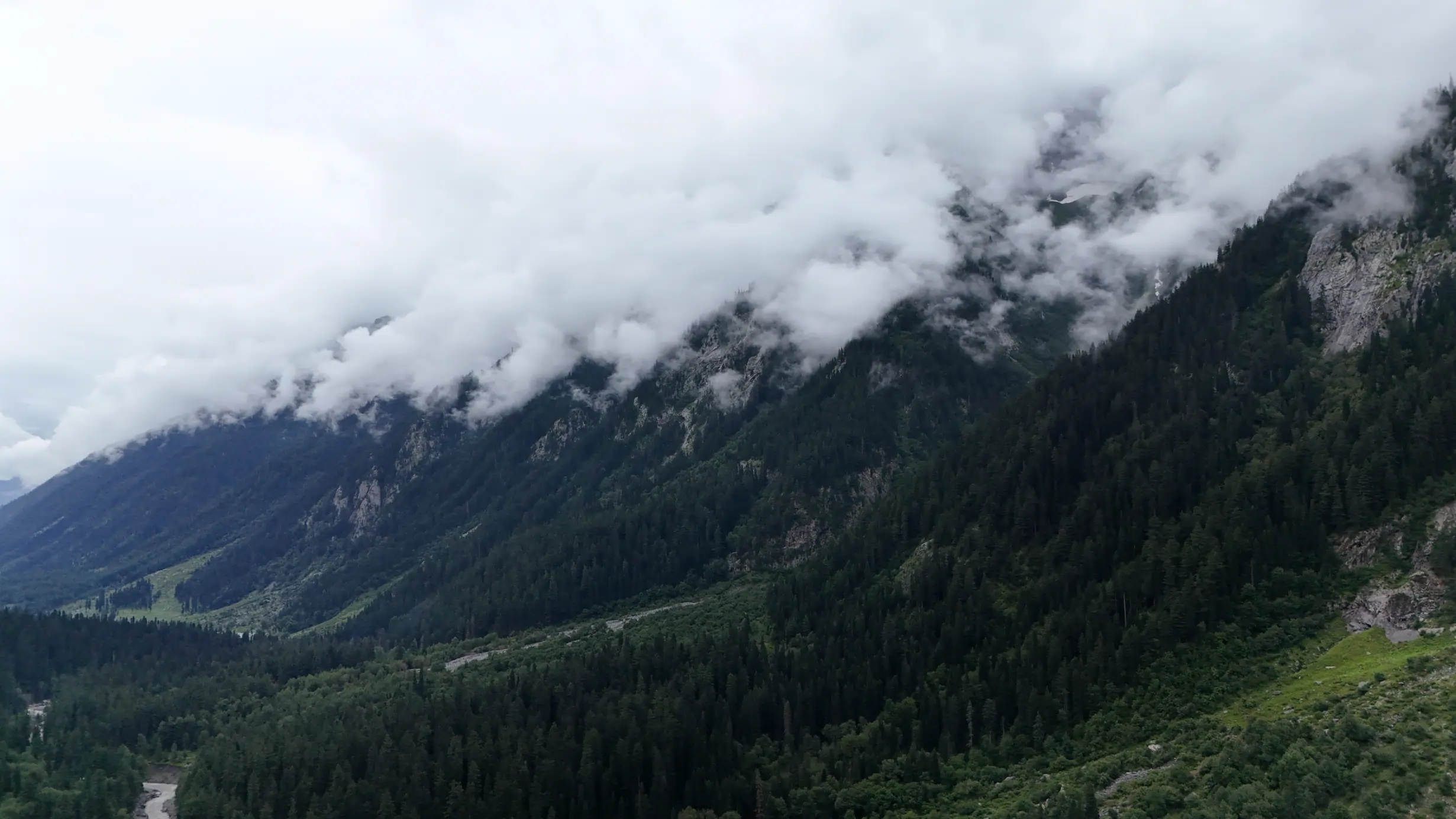
The high lake environment can be colder and more exposed than a warm start below. Carry protection that can be used quickly. A dry spare layer should remain dry, not share a bag with a wet tent or rain jacket. On a sunny day, do not forget that exposure can change during the return. Clouds may erase visual landmarks, wind can reduce comfort and rain can transform a slope or crossing. A conservative start time gives you the option to stop rather than race daylight.
Altitude affects people differently. The CDC high-altitude travel guidance explains why gradual ascent and attention to symptoms matter. This page is not medical advice; travellers with relevant health concerns should consult a clinician before a high-altitude trip. On the trail, do not dismiss a companion’s headache, dizziness or unusual fatigue as a lack of willpower. Descending or seeking help may be the appropriate response. A named destination is never worth hiding symptoms.
Watch the weather across the whole route, not only at the lake. The road you need for the return may face a different hazard than the meadow where you are standing. Carry enough food and warmth for a reasonable delay, know whom you would contact locally and keep someone outside the region informed of your broad plan. That margin is especially important for a solo traveller who cannot rely on a companion to notice a problem early.
Altitude preparation starts before symptoms appear. Give people time to adjust, keep the effort conversational and avoid making the fastest person set the entire group’s pace. If a traveller has a medical condition or prior altitude problem, a clinician is the right source for individual advice. On the route, a decision to descend deserves respect from the whole group.
Field guide / 05
Choose camp and water practices deliberately
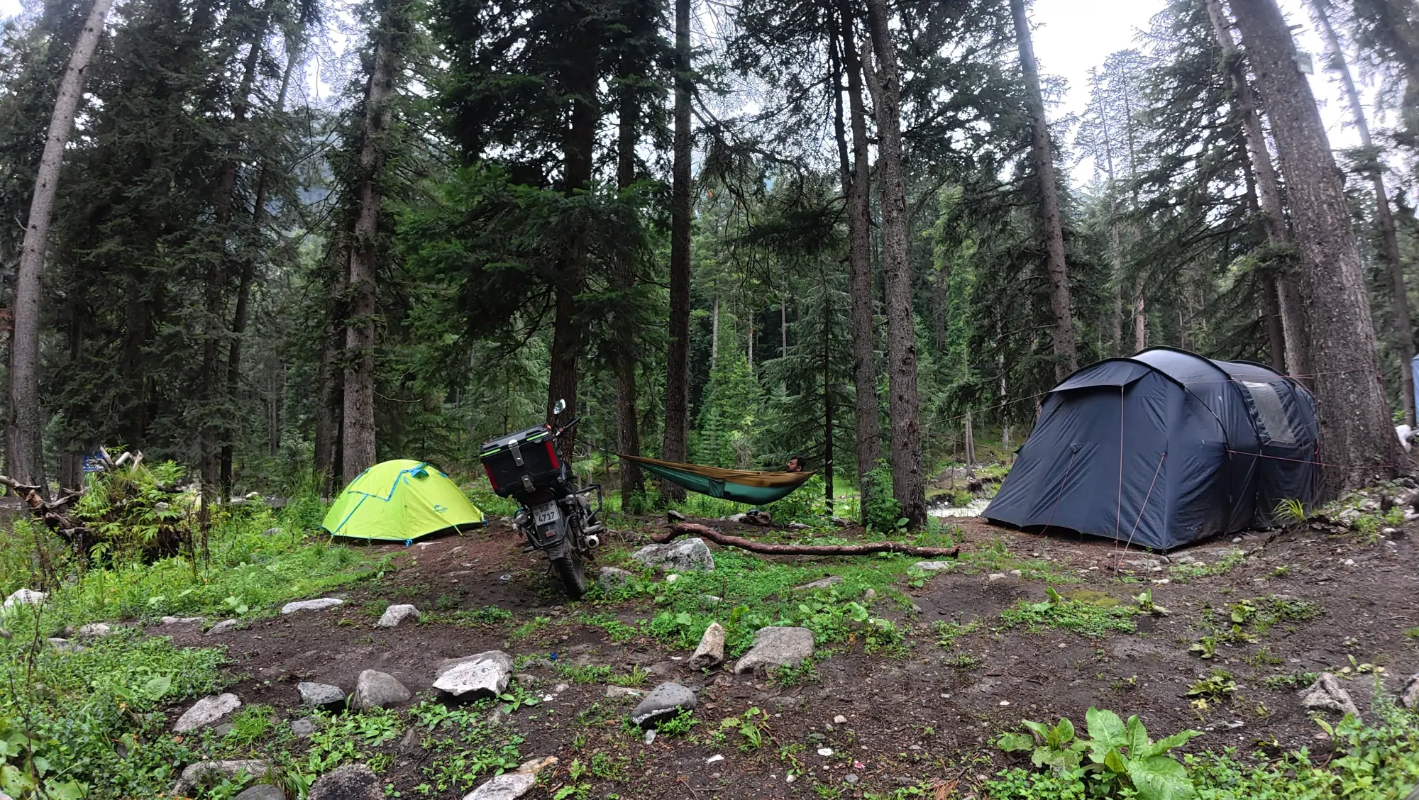
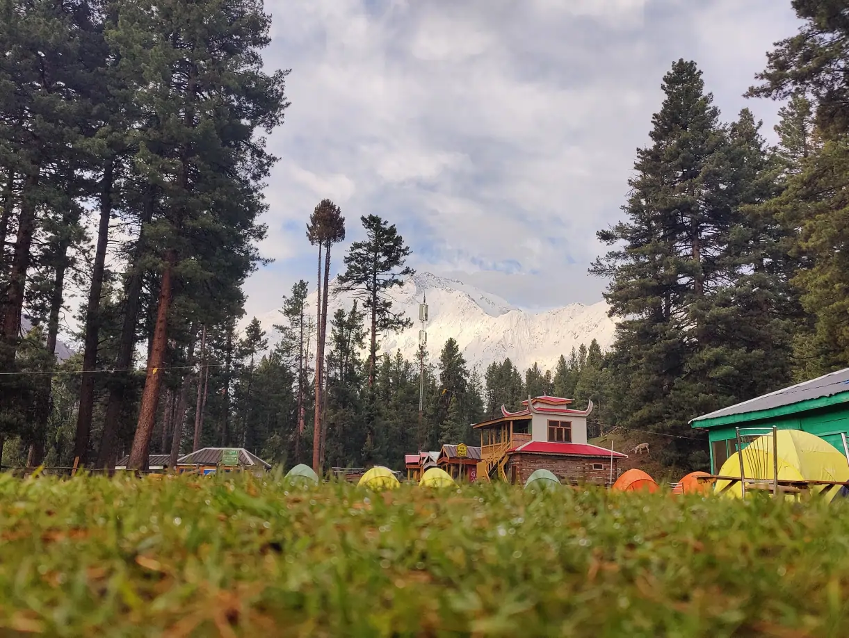
An attractive patch of grass is not automatically a suitable campsite. Ask a local host or land user where camping is permitted and which sites are already used. Look for durable, well-drained ground away from obvious water flow and animal routes. Avoid flattening new vegetation simply to gain a more private view. The Leave No Trace guidance on durable surfaces provides a useful framework, while local rules and directions take priority at the site.
Water collection deserves its own plan. Locate a reliable source through local advice, carry an appropriate treatment method and protect the source from soap and food waste. Do not assume clear water is safe to drink. Keep washing and cooking runoff away from streams. Food packaging, peels and tissues should not remain after your camp is gone. “Biodegradable” is not the same as harmless in a heavily visited meadow. Pack waste out or use the system that a host explicitly directs you to use.
Test your shelter before the trip. Practice setting it up in limited light and wind, and check that every person in the group has the equipment they need. A shared tent whose poles are in another bag is a small logistical error with a large consequence. The camping hub and Gear List turn these concerns into a manageable preparation sequence.
Look at your proposed campsite after imagining a night of rain. Where would water run? Which paths do people and animals already use? Could you pack out waste without crossing a stream? A slightly less dramatic existing site may be better than a new pitch beside the most photogenic water. Asking a local host also helps avoid camping on working land.
Field guide / 06
Keep the camera secondary to the journey
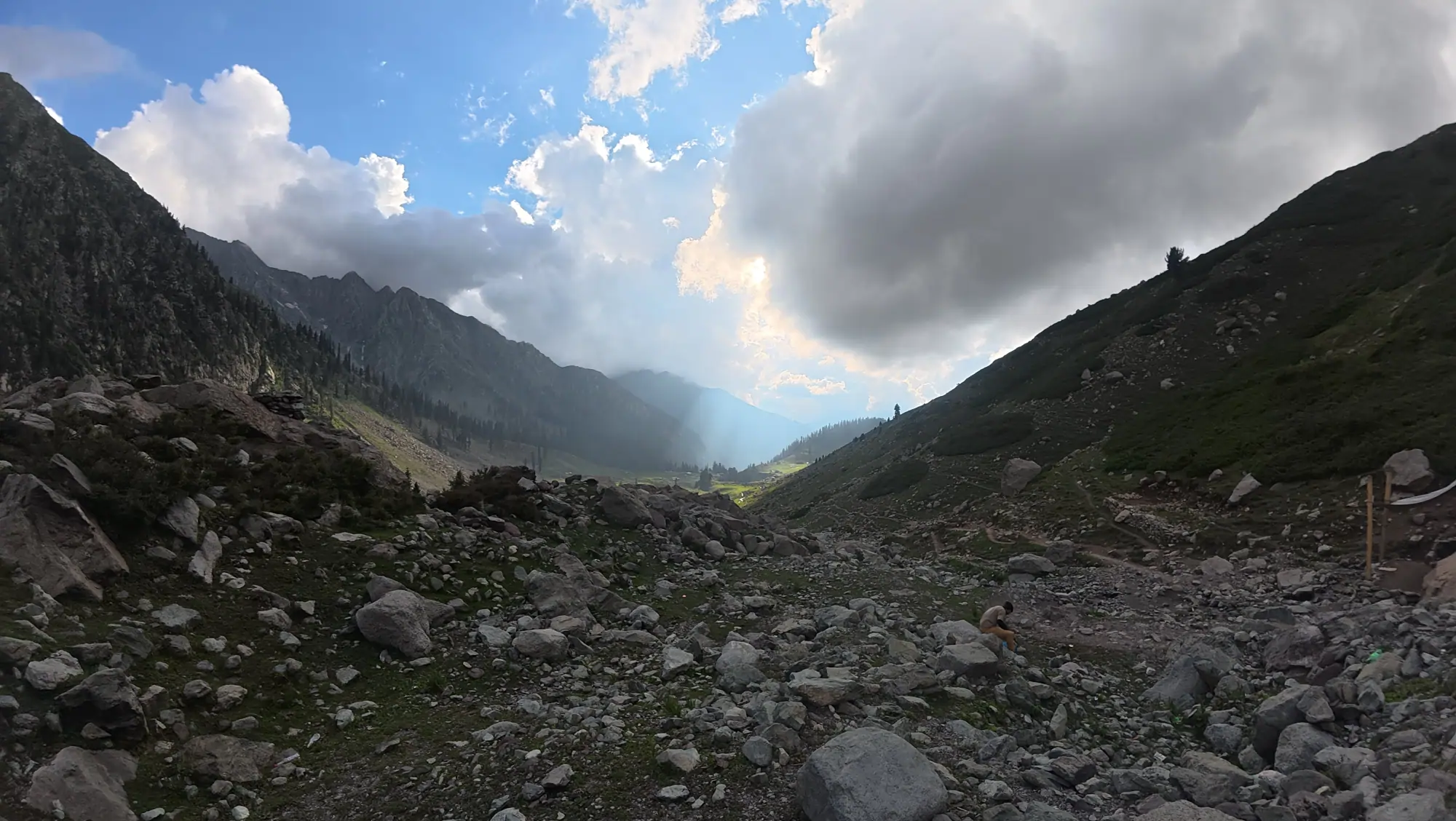
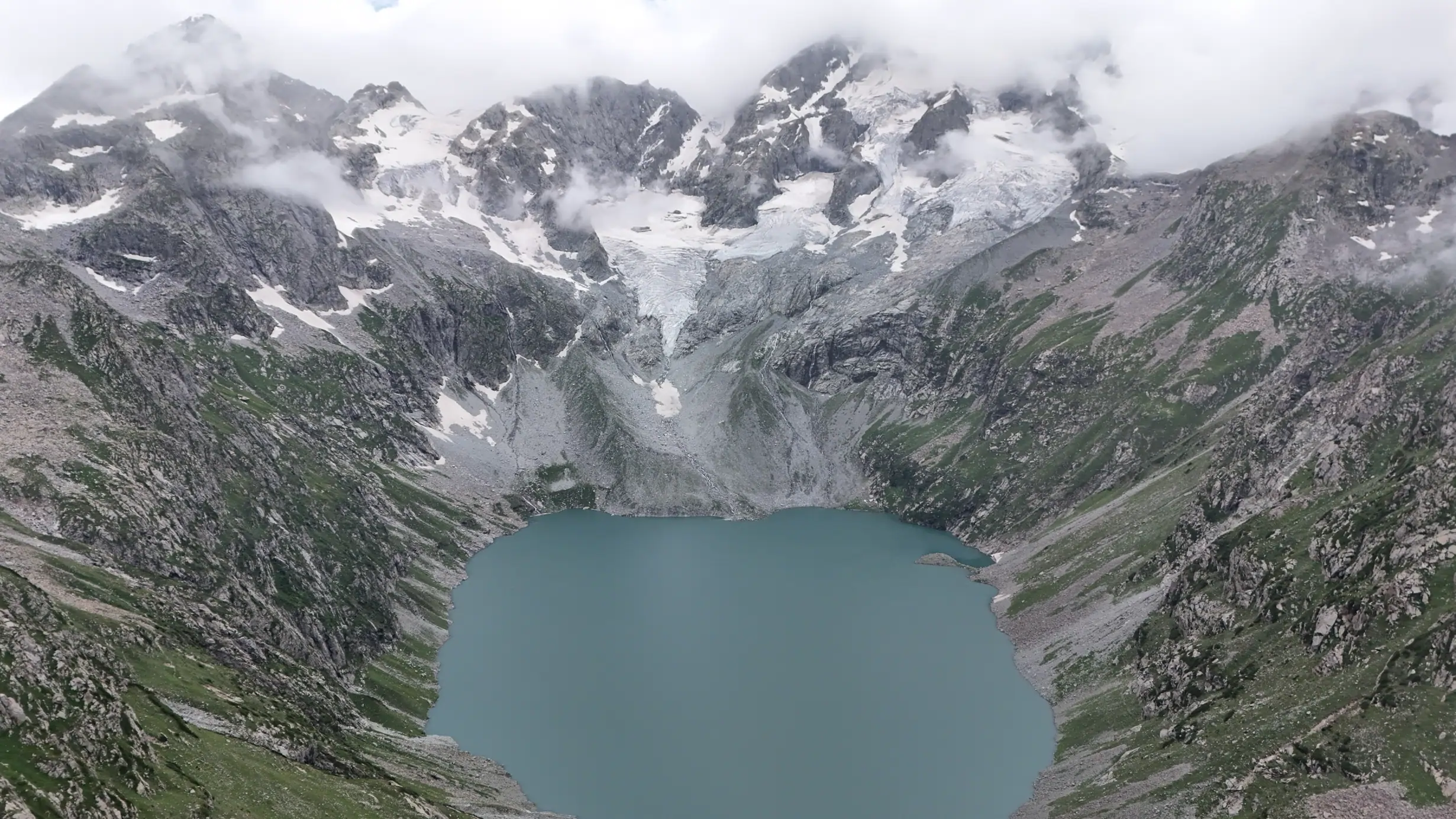
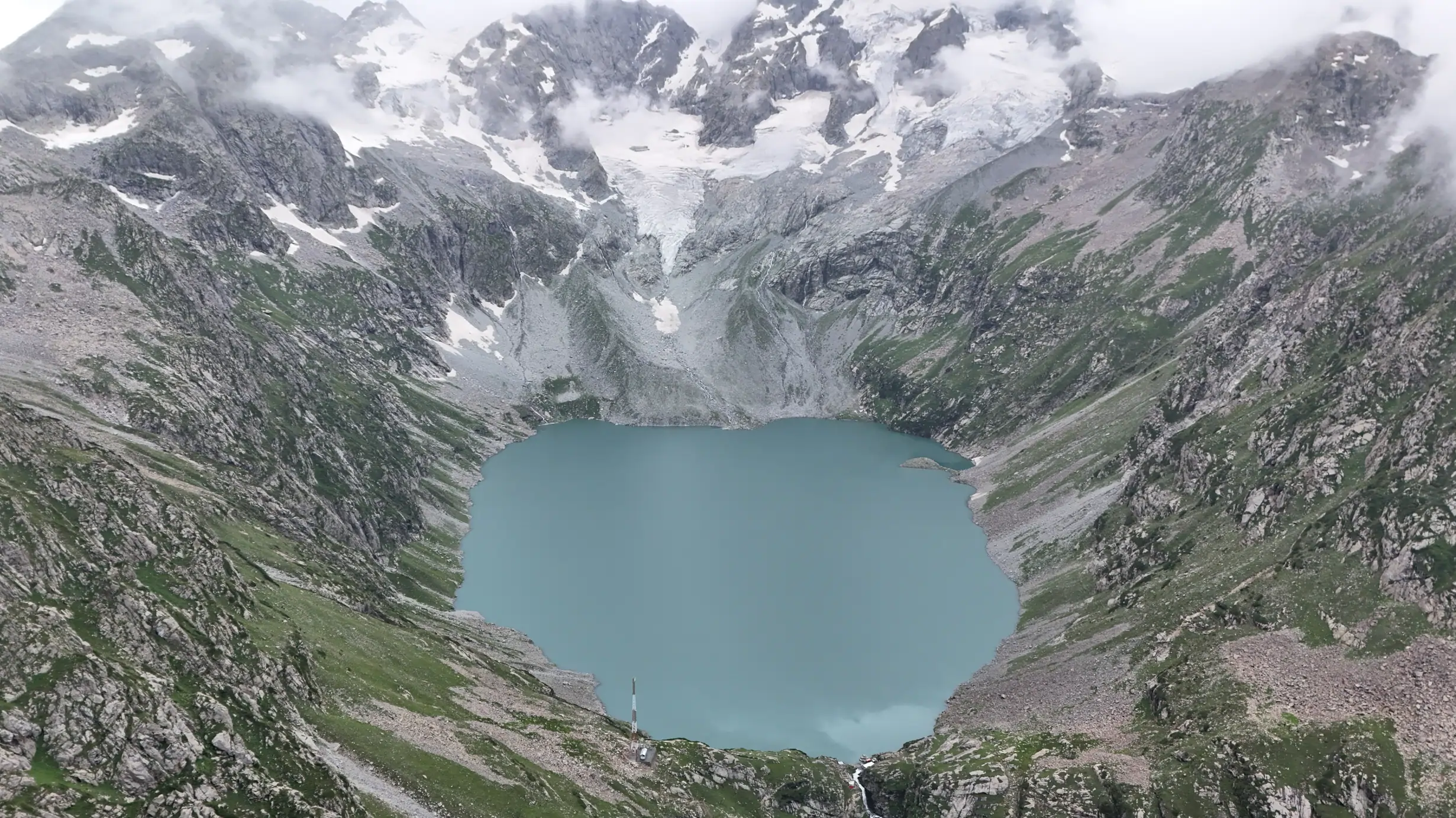
The aerial shape of Katora Lake is compelling, but the ground-level journey has a richer sequence: forest, approach, meadow, weather, footsteps and the return. If you are filming, plan small, safe stops rather than taking a camera out on a difficult passage. A companion should not be asked to stand on an unstable edge to complete a shot. Drone use, where contemplated, requires attention to current local permissions, privacy, wildlife and visitor safety; do not assume that remote-looking land has no rules.
Use the camera to explain choices. A film that shows why a group delayed a start, carried an extra layer or turned around offers more value than a montage that implies the lake is effortless. Label footage accurately. A view filmed in one season cannot prove the same route is open in another. If you share practical claims, include the date of travel and a reminder to check current conditions. Offbeat Camper’s travel films offer a visual companion to the planning principles here.
People are part of the landscape, but they are not scenery. Ask consent before identifiable filming and credit local knowledge when it shapes the story. Keep noise and repeated takes away from campsites where others are resting. If a weather window is brief, experiencing it without recording every second may be the best use of it. A journey can remain memorable even when the camera battery is empty.
Before launching a drone or placing a tripod, consider whether the image can be made from a safe, permitted position on foot. Aerial imagery can flatten the effort of the trail into a smooth visual journey. Ground-level details—boots in mud, a shared rest, a change of weather—may communicate the experience more honestly and with less disturbance.
Field guide / 07
Build a trip that can change gracefully
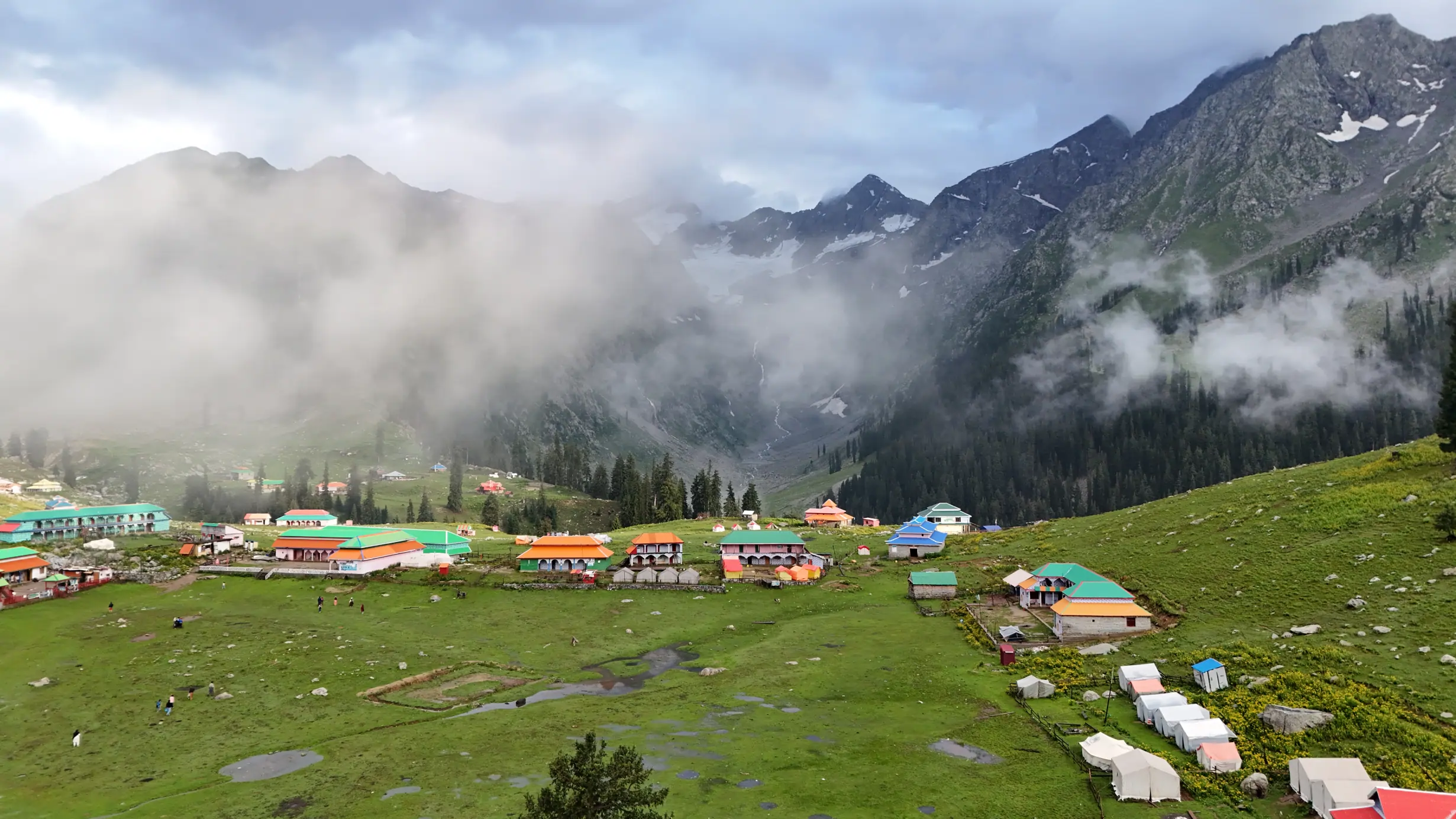
Write two versions of your trip. Version A includes the lake under suitable conditions. Version B stays lower, explores the valley or rests in the meadow. Both should feel worthwhile. This removes the temptation to force a risky stage because the entire journey has been defined by a single endpoint. Agree on that flexibility with companions before travelling. A person who wanted a relaxed forest trip should not discover on the final morning that the group considers a high trek compulsory.
Keep bookings and transport arrangements as flexible as the route allows. A fixed deadline may be unavoidable, but the walking schedule within it can still change. Decide which costs you are willing to absorb to make a safe decision, and do not make those sunk costs a reason to continue when conditions worsen. If the region is affected by an official warning, follow the instructions of authorities and local operators. Online enthusiasm does not override an on-the-ground restriction.
A thoughtful plan also distributes rest. Day one may be travel and orientation; day two may be meadow and weather assessment; a lake attempt, if appropriate, follows only after those checks. The exact order and duration depend on your route, energy and conditions. This is a planning pattern, not an itinerary promise. Its purpose is to give the best part of the journey enough room to be enjoyed.
A flexible itinerary should also be financially and socially clear. If you hire transport or a guide for a lake attempt, discuss what happens if weather cancels it. Fair arrangements reduce pressure on both sides to continue when conditions no longer support the plan. Communicate a change early rather than leaving someone waiting at a trailhead.
Field guide / 08
Leave a cleaner trail and a more accurate story
On the way out, account for every wrapper, battery, bottle and piece of damaged equipment. Collecting your own waste is the minimum; if safe, picking up a small amount left by others can help. Do not move cultural objects, carve names into trees or create new shortcuts. Repeated small decisions determine whether a popular route remains welcoming. The Leave No Trace organisation explains the broader principles, while local hosts can point to the practices that fit the site.
When publishing notes, distinguish your observations from information you were told and from details checked online. Mention the month and year of travel. Avoid publishing an exact campsite coordinate if doing so would direct more traffic onto sensitive or privately used ground. If you recommend a guide or host, make the nature of any commercial relationship clear. This kind of transparency is more useful to a reader than a claim that you discovered an untouched secret.
Kumrat, Jahaz Banda and Katora Lake are connected, but the most responsible journey does not have to collect all three names. Give the road, meadow and trail their own space, and let conditions decide how far you go. Continue through the Offbeat Camper journal or compare the route with Fairy Meadows, Deosai and Nangma Valley. Each place offers a different lesson in moving carefully.
The journey back is part of the environmental footprint. Carry out every item you brought up, including small batteries, snack wrappers and broken straps. If your story encourages others to visit, include the practical burden of protecting the route. The goal is not to call a place pristine while quietly leaving others to manage the effects of tourism.
Keep exploring: Pakistan trekking, the travel guides and the route-based gear checklist.